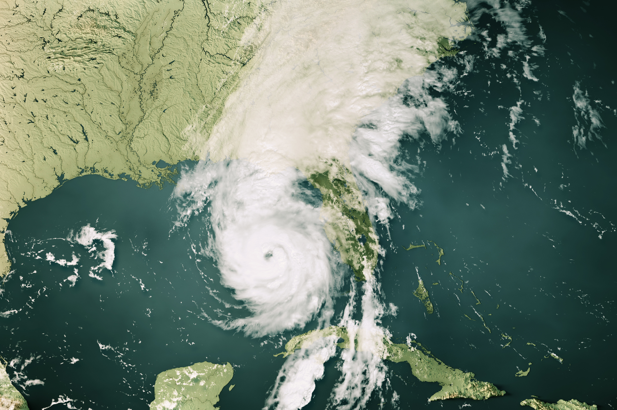
The researchers identified two distinct events associated with Helene’s landfall. The first was its actual landfall along the Florida coast. The second was the intense rainfall on the North Carolina/Tennessee border. This rainfall came against a backdrop of previous heavy rain caused by a stalled cold front meeting moisture brought north by the fringes of the hurricane. These two regions were examined separately.
A changed climate
In these two regions, the influence of climate change is estimated to have caused a 10 percent increase in the intensity of the rainfall. That may not seem like much, but it adds up. Over both a two- and three-day window centered on the point of maximal rainfall, climate change is estimated to have increased rainfall along the Florida Coast by 40 percent. For the southern Appalachians, the boost in rainfall is estimated to have been 70 percent.
The probability of storms with the wind intensity of Helene hitting land near where it did is about a once-in-130-year event in the IRIS dataset. Climate change has altered that so it’s now expected to return about once every 50 years. The high sea surface temperatures that helped fuel Helene are estimated to have been made as much as 500 times more likely by our changed climate.
Overall, the researchers estimate that rain events like Helene’s landfall should now be expected about once every seven years, although the uncertainty is large (running from three to 25 years). For the Appalachian region, where rainfall events this severe don’t appear in our records, they are likely to now be a once-in-every-70-years event thanks to climate warming (with an uncertainty of between 20 and 3,000 years).
“Together, these findings show that climate change is enhancing conditions conducive to the most powerful hurricanes like Helene, with more intense rainfall totals and wind speeds,” the researchers behind the work conclude.


